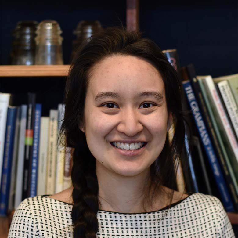
GIS Officer, Chief Remote Pilot
MA APPLIED SCIENCE, BA GEOGRAPHY + ENVIRONMENTAL SCIENCE
Qualifications
MA, Applied Science, 2017
BA, 2015
Helen completed her Masters of Applied Science (Geospatial) at RMIT in 2017 and a Bachelor of Arts (Geography and Environmental Science) at Monash in 2015. She joined Andrew Long + Associates in 2019 as a GIS officer. Since then, she has obtained a Remote Pilot License (RePl) and became the company's Chief Remote Drone Pilot. She is continually building upon her geospatial skills in cultural heritage and historical mapping and occasionally dabbles in photogrammetry and Python coding. She is an integral member of the geospatial team.
Description
Helen’s experience is in mapping and providing spatial solutions to the ALA project teams. Her expertise lies in the creation of maps for cultural heritage management plans and historical reports across ALA's diverse project portfolio. She advises on CASA regulations in line with her role as Chief Remote Drone Pilot and participates in automating GIS workflows using Python. She also has experience in GNSS surveying through her previous work as an aerial technician and is occasionally consulted on GNSS technical issues.


Follow Us!